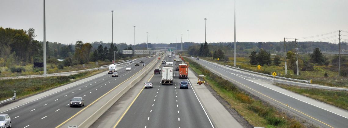
Businesses and companies often consider the major highways that run through an area when selecting their location for several reasons, especially because everyone wants the travel and commute in their city to be easy. The more growth a city experiences, the more important it is that the highway system is adequate to handle the load.
With commerce comes the need to transport goods. The use of trucks to move the products bought and sold in the United States is critical to our economy. The planning, routing, development, and maintenance of the highway system are in many ways the backbone of our industrial nation.
In the state of Georgia, the highways are numbered as state routes. This is because the highway system is the responsibility of the state of Georgia to maintain. In the city of Alpharetta, there are five major highways. They are:
- State Route (Hwy) 400
- State Route (Hwy) 9
- State Route (Hwy) 120
- State Route (Hwy) 372
- State Route (Hwy) 140
SR-400
This section of highway was originally built in 1974. It is just under 54 miles long. It is nicknamed the Alpharetta Autobahn because people enjoy speeding on this stretch of highway. You might recognize this highway if you were a fan of the Smokey and The Bandit movies. Some of the scenes from the movies were filmed on SR-400. The “Alabama police chase” scene was actually filmed in Georgia on SR400 between exits 12 & 14.
SR-9
State Route 9 is one of the longest stretches of highway in this part of the country. It is 86.4 miles long, and it crosses eight counties. It is also one of the oldest highways in the state of Georgia. This route which runs concurrently with US Route 19 has been in use for at least as far back as 1919. It is a great alternative route to avoid congestion on SR-400.
SR-120
This route runs west-to-east and is just under 91 miles long. It was first built in 1969 but went through some design changes in 2007. The majority of those changes were in Marietta, where the Marietta Loop was decommissioned. The section through Alpharetta picks up at the eastern end at around Route 9.
SR-372
State Route 372 began showing up on maps around 1953. It runs from the western part of Alpharetta at the intersection of SR-140 and goes through Fulton and Cherokee Counties. This section is 27.13 miles long and ends at SR-515.
SR-140
This 78.6 mile stretch of highway begins in the northwestern part of the state of Georgia and crosses six counties, including Fulton County. It ends at I-85 near Norcross Georgia.
As you can see, Alpharetta benefits greatly from the massive and complex state route highway system. This infrastructure is one of the reasons Alpharetta was able to claim its position as the “Technology City of the South.” In order for any city to thrive in modern society, it must be fully accessible, 24 hours per day. The highway system ensures that happens. Only by continually maintaining and improving the current status of the city, can we establish the future of the city and help prevent car accidents.